The Mountains of the Moon. Glaciers, giant lobelias, and the highest point in Uganda, on one of the most demanding treks on the continent.
The Mountains of the Moon. Glaciers, giant lobelias, and the highest point in Uganda, on one of the most demanding treks on the continent.
The Rwenzori Mountains rise on the western border of Uganda, between the Albertine Rift and the eastern Democratic Republic of the Congo. They are the highest range in Uganda, and Margherita Peak at 5,109 metres is the highest point in the country.
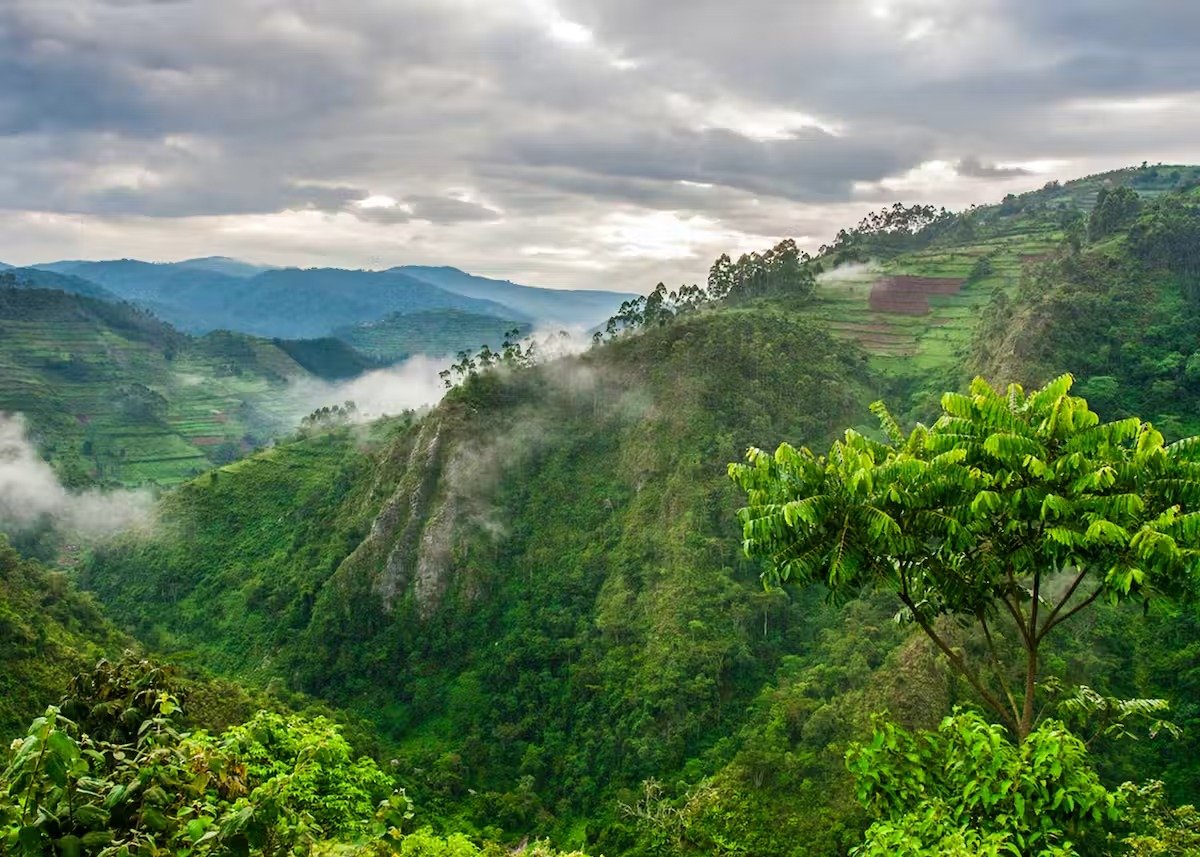
The mountains are popularly called the Mountains of the Moon, a name that goes back to Henry Morton Stanley, who reported that local people described the moonlit snow on the peaks as impossibly bright. From the lowlands they read as a solid wall of forest, and the surprise on reaching the upper slopes is that they are not snowy peaks but a world of bog, giant lobelia and cloud.
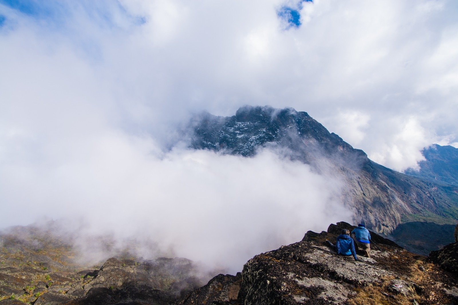
The climb passes through four distinct climate zones in a single day: tropical rainforest at the base, then bamboo, then heather and moorland, then Afro-alpine scree above 3,900 metres. Each transition is abrupt and the change in temperature is dramatic.
This is not a casual hike. The trails are boggy and the weather changes several times a day, and a summit attempt is a serious undertaking requiring a porter team and a real acclimatisation plan. It is also one of the most rewarding walks in Africa.
The Mountains of the Moon. Glaciers, giant lobelias, and the highest point in Uganda, on one of the most demanding treks on the continent.
Above 3,900 metres the landscape becomes almost lunar: giant groundsels, lobelias the height of a person, tussocks of giant heather and cushion plants, all in a permanent mist. It exists on very few African mountains.
The Rwenzori glaciers are on the equator, a fact that seems impossible and is true. They have been retreating steadily for decades and the ice is now confined to the upper slopes of the highest peaks.
More than 180 species, including the endemic Rwenzori turaco, Archer's ground hornbill, mountain sunbird, blue-headed sunbird and the Rwenzori batwing in the forest.
Red colobus, black-and-white colobus, blue monkey, golden monkey and giant forest hog in the lower forest, with African elephant and buffalo in the wider park.
The caves and rock overhangs in the park shelter large colonies, including Denham's horseshoe bat, the only bat recorded on the Rwenzori.
The forest runs from lowland rainforest through a distinct bamboo zone to a heather belt that resembles moorland in northern Europe, all within a few hours's walking.
The full ascent of Margherita Peak takes six to nine days depending on route and conditions, with a porter team. We build these around your fitness and time.
The most popular multi-day route, looping between the Kilembe and Nyamwamba valleys and passing Lakes Bujuku, Mutinda and Nkolota.
The Kalalama and Mutinda trails give a genuine taste of the upper zones in a single long day, without the full expedition.
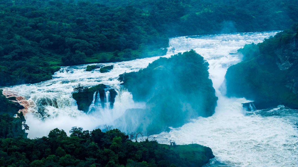
Several falls on the Rwenzori escarpment are reached by short walks from the trailheads.
Guided forest walks with a focus on the endemic turaco, ground hornbill and sunbirds.
Local porter cooperatives run the trails. We use the cooperatives so the climbing and porter work stays in the communities around the park.
Lodges listed are indicative. Tell us your budget and lodge preference and we will match it when we build your itinerary.
| Location | Lodge | Basis |
|---|---|---|
| Kilembe (Kilembe gate) | Kilembe Forest Lodge | Full Board |
| Kilembe (Kilembe gate) | Latitude 0 Degrees Kyanjinga | Full Board |
| Kasese town | Hotel Corto | Bed & Breakfast |
| Kasese town | Rwenzori View Hotel | Bed & Breakfast |
Scheduled flights from Entebbe and Kihihi land at Kasese. The park gates are on the mountain side of Kasese, roughly twenty minutes from the airstrip.
From Kampala it is around 400 km and eight hours via Mbarara, Kabale and Kasese. From Fort Portal it is about three and a half hours, which makes Fort Portal the sensible base for a shorter visit.
The main trailheads are Kilembe and Nyamwamba, both reached from Kasese. Each has ranger posts where you must register before trekking.
December to February and June to August for the driest, clearest conditions. Rain, fog and hail are possible any month above 3,000 metres regardless of season, and the climb should not be attempted without preparation.
Summit attempts need genuine mountain fitness, a multi-day acclimatisation plan and a porter team. Our guides will give you an honest assessment of what is achievable in your window.
Conditions change fast. Waterproofs, warm layers, gloves and a hat are essential, and no cotton is worth bringing. Hire or rent boots at the trailhead if yours are not proven.
Uganda offers e-visas online and visas on arrival at Entebbe. The park borders the Democratic Republic of the Congo, so ask us about transit arrangements before combining it with a Congo itinerary.
These are the itineraries our travellers book most often for this destination. All can be adjusted to your dates, pace and budget.